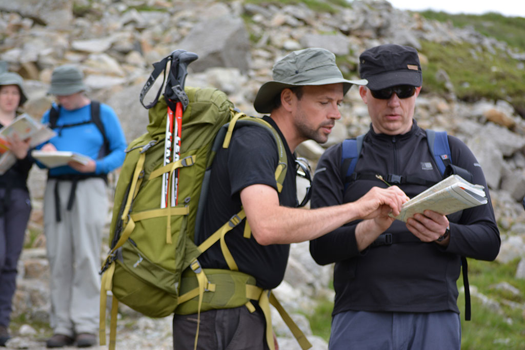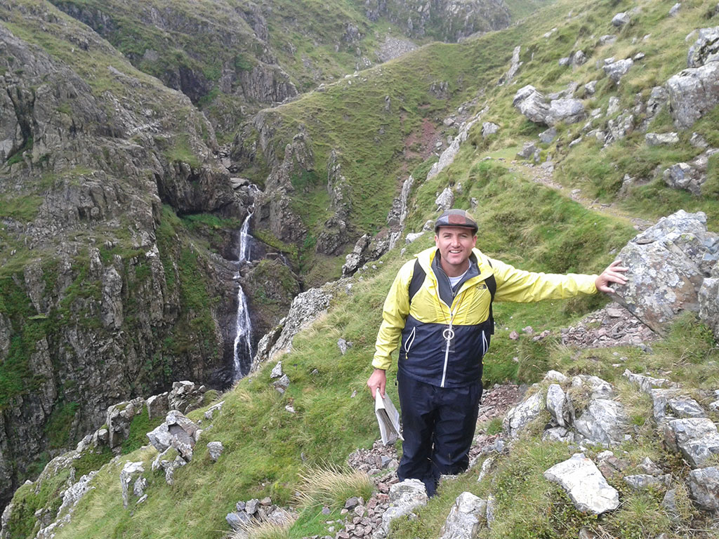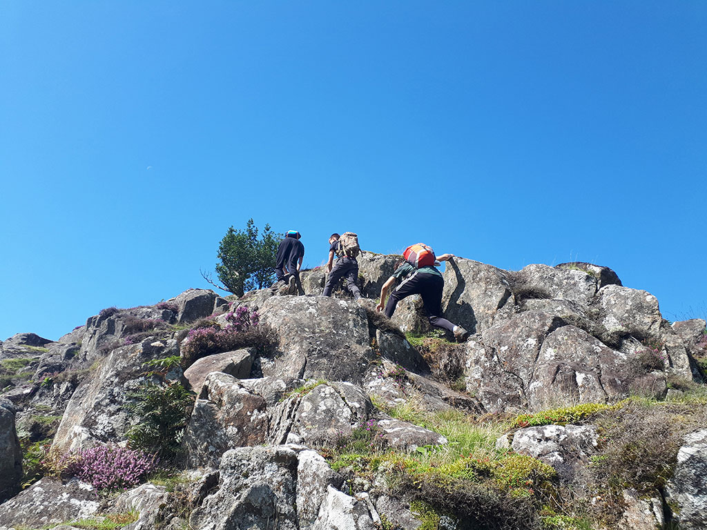
Hill & Mountain Skills
Mountain Training (the National Governing Body of mountain leadership and instructing in the UK) administer and quality control 2 courses called Hill Skills and Mountain Skills. These courses are ‘personal proficiency’ courses, designed to equip participants with the skills needed to pursue their own hill and mountain walking.
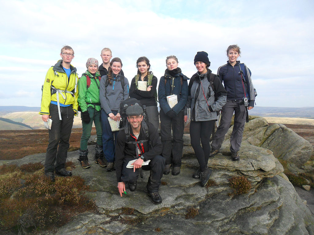
Lupine Adventure Co-op has delivered these courses since their launch in 2014. In this time we have run 33 courses, and trained 167 successful participants. Some of these have been open courses and some have been for schools and university societies.